
Kootenay Lake Provincial Park - Coffee Creek Site topographic map
Interactive map
Click on the map to display elevation.
About this map
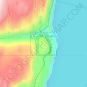
Name: Kootenay Lake Provincial Park - Coffee Creek Site topographic map, elevation, terrain.
Average elevation: 700 m
Minimum elevation: 508 m
Maximum elevation: 1,055 m