
khorfakkan waterfall topographic map
Interactive map
Click on the map to display elevation.
About this map
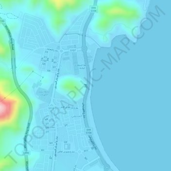
Name: khorfakkan waterfall topographic map, elevation, terrain.
Average elevation: 22 m
Minimum elevation: -3 m
Maximum elevation: 274 m
Other topographic maps
Click on a map to view its topography, its elevation and its terrain.
Al Rafisah Dam
United Arab Emirates > Sharjah Emirate > Khor Fakkan
Al Rafisah Dam, Khor Fakkan, Sharjah Emirate, United Arab Emirates
Average elevation: 279 m
Khor Fakkan
United Arab Emirates > Sharjah Emirate > Khor Fakkan
Khor Fakkan, Sharjah Emirate, United Arab Emirates
Average elevation: 194 m