
Ngao topographic map
Interactive map
Click on the map to display elevation.
About this map
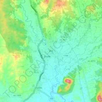
Name: Ngao topographic map, elevation, terrain.
Location: Ngao, Luang Tai, Lampang Province, Thailand (18.71273 99.94001 18.79273 100.02001)
Average elevation: 292 m
Minimum elevation: 258 m
Maximum elevation: 390 m