
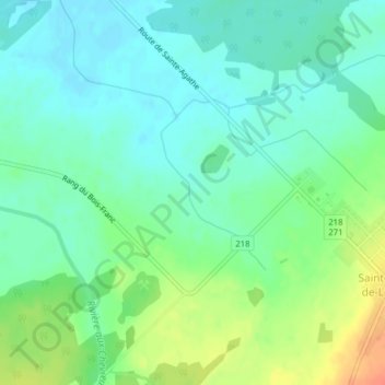
Rivière Saint-Georges topographic map
Interactive map
Click on the map to display elevation.
About this map
Name: Rivière Saint-Georges topographic map, elevation, terrain.
Average elevation: 158 m
Minimum elevation: 143 m
Maximum elevation: 188 m
Other topographic maps
Click on a map to view its topography, its elevation and its terrain.
Ruisseau Sainte-Croix
Canada > Québec > Lotbinière (MRC) > Sainte-Agathe-de-Lotbinière
Ruisseau Sainte-Croix, Sainte-Agathe-de-Lotbinière, Lotbinière (MRC), Chaudière-Appalaches, Québec, G0S 2A0, Canada
Average elevation: 228 m