
Ghilassa topographic map
Interactive map
Click on the map to display elevation.
About this map
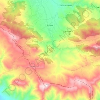
Name: Ghilassa topographic map, elevation, terrain.
Location: Ghilassa, Bordj Ghedir District, Bordj Bou Arreridj, Algeria (35.81102 4.84493 35.88430 4.96412)
Average elevation: 1,413 m
Minimum elevation: 963 m
Maximum elevation: 1,830 m