
华屯 topographic map
Interactive map
Click on the map to display elevation.
About this map
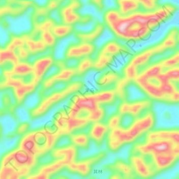
Name: 华屯 topographic map, elevation, terrain.
Location: 华屯, 天等县, Chongzuo, Guangxi, China (23.16960 107.14630 23.20960 107.18630)
Average elevation: 570 m
Minimum elevation: 440 m
Maximum elevation: 746 m