
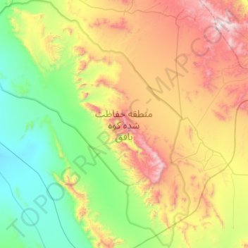
Kuh-e Bafgh Protected Area topographic map
Interactive map
Click on the map to display elevation.
About this map
Name: Kuh-e Bafgh Protected Area topographic map, elevation, terrain.
Average elevation: 1,715 m
Minimum elevation: 1,055 m
Maximum elevation: 2,963 m