
Chang topographic map
Interactive map
Click on the map to display elevation.
About this map
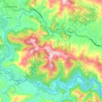
Name: Chang topographic map, elevation, terrain.
Location: Chang, Myagde, Tanahun, Gandaki Pradesh, Nepal (27.96495 84.08165 28.02383 84.16481)
Average elevation: 582 m
Minimum elevation: 350 m
Maximum elevation: 978 m