
San Rafael topographic map
Interactive map
Click on the map to display elevation.
About this map
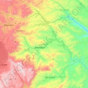
Name: San Rafael topographic map, elevation, terrain.
Location: San Rafael, Oriente, Antioquia, Colombia (6.20946 -75.14585 6.40557 -74.82788)
Average elevation: 1,364 m
Minimum elevation: 565 m
Maximum elevation: 2,441 m