Geolocate

Beas River topographic map

Click on the map to display elevation.

About this map

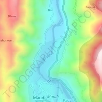
Name: Beas River topographic map, elevation, terrain.

Location: Beas River, Bari, Mandi, Himachal Pradesh, 175001, India (31.71269 76.92934 31.72893 76.93662)

Average elevation: 948 m

Minimum elevation: 723 m

Maximum elevation: 1,344 m

Gear up for your next adventure:

🛌Sleeping Mats - Insulated mats for comfortable outdoor sleeping
🧣Neck Gaiters - Protects against wind and sun on exposed ridges and peaks
🗺️Ordnance Survey Maps - Essential paper maps for hiking across the UK national parks
🥄Titanium Camping Sporks - The ultimate lightweight utensil for trail meals
👟Men's Trail Running Shoes - Lightweight grip for fast movement over topographic contours

As an Amazon Associate, this site earns from qualifying purchases at no extra cost to you.