
Abor topographic map
Interactive map
Click on the map to display elevation.
About this map
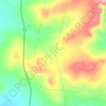
Name: Abor topographic map, elevation, terrain.
Location: Abor, Udi, Enugu State, Nigeria (6.44480 7.38350 6.48480 7.42350)
Average elevation: 426 m
Minimum elevation: 336 m
Maximum elevation: 524 m