
Kertasari topographic map
Interactive map
Click on the map to display elevation.
About this map
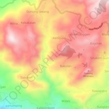
Name: Kertasari topographic map, elevation, terrain.
Location: Kertasari, Banjarnegara, Central Java, Indonesia (-7.25437 109.65947 -7.21437 109.69947)
Average elevation: 1,216 m
Minimum elevation: 875 m
Maximum elevation: 1,426 m