
Tremp topographic map
Interactive map
Click on the map to display elevation.
About this map
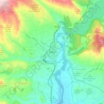
Name: Tremp topographic map, elevation, terrain.
Location: Tremp, Pallars-Inférieur, Lérida, Catalogne, 22583, Espagne (42.12637 0.85462 42.20637 0.93462)
Average elevation: 554 m
Minimum elevation: 386 m
Maximum elevation: 956 m