Geolocate

Cicero topographic map

Click on the map to display elevation.

About this map

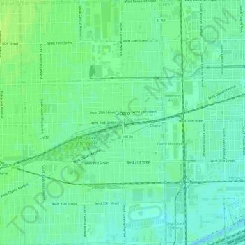
Name: Cicero topographic map, elevation, terrain.

Location: Cicero, Cook County, Illinois, 60804, United States (41.82154 -87.77904 41.86597 -87.73849)

Average elevation: 185 m

Minimum elevation: 179 m

Maximum elevation: 190 m

Gear up for your next adventure:

🧦Merino Wool Hiking Socks - Moisture-wicking socks to prevent blisters during long mountain walks
👟Waterproof Leg Gaiters - Keep mud and water out of your boots in boggy terrain
🧦Hiking Socks - Breathable socks designed to prevent blisters on long walks
🧢Hiking Hats - Sun and weather protection for outdoor walks
📷Camera Straps - Secure straps for carrying cameras while walking

As an Amazon Associate, this site earns from qualifying purchases at no extra cost to you.