
Binda topographic map
Interactive map
Click on the map to display elevation.
About this map
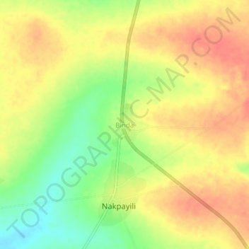
Name: Binda topographic map, elevation, terrain.
Location: Binda, Nanumba South District, Northern Region, Ghana (8.74738 0.03545 8.78738 0.07545)
Average elevation: 208 m
Minimum elevation: 176 m
Maximum elevation: 230 m