Geolocate

Mong topographic map

Click on the map to display elevation.

About this map

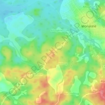
Name: Mong topographic map, elevation, terrain.

Location: Mong, Monatélé, Lekié, Centre, Cameroon (4.22886 11.17053 4.26886 11.21053)

Average elevation: 409 m

Minimum elevation: 375 m

Maximum elevation: 462 m

Gear up for your next adventure:

🛌Sleeping Bags - Warm and packable sleeping bags for outdoor nights
🧭Emergency Beacons - Safety beacons for remote outdoor locations
🎒Hiking Daypacks - Compact backpacks ideal for short hikes and excursions
🔦LED Camping Lanterns - Illumination for reading maps inside your tent at night
🐕Hiking Dog Harnesses - Rugged harnesses for taking your companion on mountain trails

As an Amazon Associate, this site earns from qualifying purchases at no extra cost to you.