
Fontaines topographic map
Interactive map
Click on the map to display elevation.
About this map
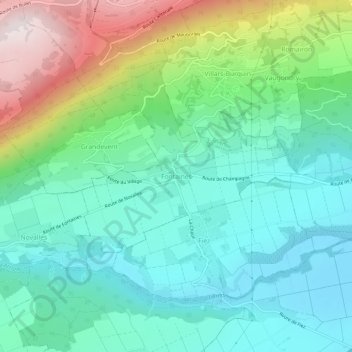
Name: Fontaines topographic map, elevation, terrain.
Location: Fontaines, District du Jura-Nord vaudois, Vaud, 1421, Suisse (46.81538 6.59939 46.85538 6.63939)
Average elevation: 681 m
Minimum elevation: 452 m
Maximum elevation: 1,274 m