
Betageri topographic map
Interactive map
Click on the map to display elevation.
About this map
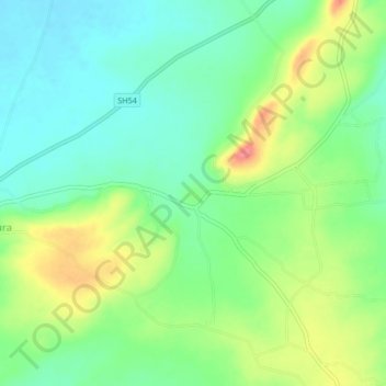
Name: Betageri topographic map, elevation, terrain.
Location: Betageri, Gokak taluku, Belgaum district, Karnataka, India (16.09449 74.93381 16.13449 74.97381)
Average elevation: 593 m
Minimum elevation: 564 m
Maximum elevation: 642 m