
Akagera topographic map
Interactive map
Click on the map to display elevation.
About this map
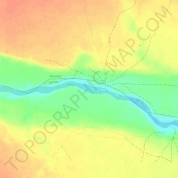
Name: Akagera topographic map, elevation, terrain.
Location: Akagera, Bukoba, Kagera, Seezone, Tansania (-1.02277 30.87702 -1.02182 30.87924)
Average elevation: 1,219 m
Minimum elevation: 1,189 m
Maximum elevation: 1,235 m
Other topographic maps
Click on a map to view its topography, its elevation and its terrain.