
Ad Darb topographic map
Interactive map
Click on the map to display elevation.
About this map
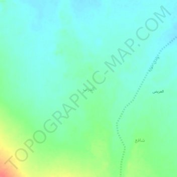
Name: Ad Darb topographic map, elevation, terrain.
Location: Ad Darb, Merkhah As Sufla District, Shabwah Governorate, Yemen (14.51385 46.13042 14.55385 46.17042)
Average elevation: 1,118 m
Minimum elevation: 1,103 m
Maximum elevation: 1,158 m
Other topographic maps
Click on a map to view its topography, its elevation and its terrain.