
Thank you for supporting this site ❤️
Make a donation
Make a donation
Gear up for your next adventure:
As an Amazon Associate, this site earns from qualifying purchases at no extra cost to you.
Nandgaon topographic map
Click on the map to display elevation.
Thank you for supporting this site ❤️
Make a donation
Make a donation
Gear up for your next adventure:
As an Amazon Associate, this site earns from qualifying purchases at no extra cost to you.
About this map
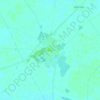
Name: Nandgaon topographic map, elevation, terrain.
Location: Nandgaon, Chhata, Mathura, Uttar Pradesh, India (27.69097 77.36568 27.73097 77.40568)
Average elevation: 186 m
Minimum elevation: 183 m
Maximum elevation: 190 m
Thank you for supporting this site ❤️
Make a donation
Make a donation
Gear up for your next adventure:
As an Amazon Associate, this site earns from qualifying purchases at no extra cost to you.