
Kombayar topographic map
Interactive map
Click on the map to display elevation.
About this map
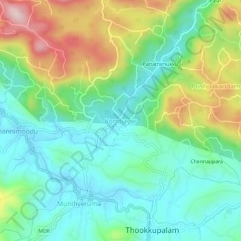
Name: Kombayar topographic map, elevation, terrain.
Location: Kombayar, Udumbanchola, Idukki District, Kerala, 685552, India (9.81085 77.16829 9.85085 77.20829)
Average elevation: 930 m
Minimum elevation: 825 m
Maximum elevation: 1,151 m
Other topographic maps
Click on a map to view its topography, its elevation and its terrain.