
جلگه topographic map
Interactive map
Click on the map to display elevation.
About this map
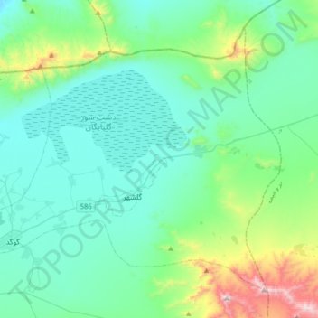
Name: جلگه topographic map, elevation, terrain.
Location: جلگه, بخش مرکزی, Golpayegan County, Isfahan Province, Iran (33.43326 50.30629 33.65437 50.62457)
Average elevation: 1,932 m
Minimum elevation: 1,726 m
Maximum elevation: 2,899 m