
New Castle topographic map
Interactive map
Click on the map to display elevation.
About this map
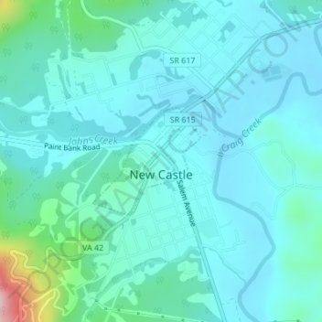
Name: New Castle topographic map, elevation, terrain.
Location: New Castle, Craig County, Virginia, United States (37.49671 -80.11814 37.50575 -80.10668)
Average elevation: 420 m
Minimum elevation: 378 m
Maximum elevation: 659 m