Geolocate

Kenana topographic map

Click on the map to display elevation.

About this map
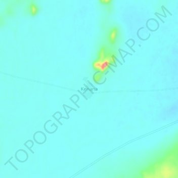
Name: Kenana topographic map, elevation, terrain.

Location: Kenana, Umm Kaddada, North Darfur State, Sudan (13.45462 27.10357 13.49462 27.14357)

Average elevation: 555 m

Minimum elevation: 543 m

Maximum elevation: 652 m

Gear up for your next adventure:

❄️Walking Crampons - Added traction for icy slopes and winter peak bagging
🛌Insulated Sleeping Mats - Crucial thermal protection when sleeping on cold, uneven ground
🕶️Polarized Sunglasses - Reduces glare from snow and water when reading terrain
🚶Walking Pedometers - Simple distance tracking for casual trail walkers
🧣Neck Gaiters - Versatile protection against wind and cold

As an Amazon Associate, this site earns from qualifying purchases at no extra cost to you.