Geolocate

Laskana topographic map

Click on the map to display elevation.

About this map

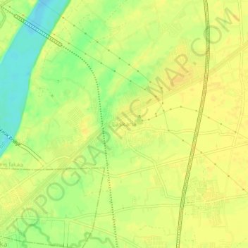
Name: Laskana topographic map, elevation, terrain.

Location: Laskana, Kamrej Taluka, Surat District, Gujarat, 394326, India (21.22942 72.90656 21.26942 72.94656)

Average elevation: 18 m

Minimum elevation: 1 m

Maximum elevation: 24 m

Gear up for your next adventure:

📕Outdoor Navigation Books - Learn traditional and modern navigation techniques
🥫Expedition Meals - Lightweight, high-calorie nutrition for long-distance hikers
🧥Breathable Waterproof Jackets - Essential rain protection for the unpredictable British climate
Camping Shelters - Emergency and lightweight shelters for outdoor use
📻Hand-Crank Emergency Radios - Stay updated on weather warnings in remote areas

As an Amazon Associate, this site earns from qualifying purchases at no extra cost to you.