
崇左市 topographic map
Interactive map
Click on the map to display elevation.
About this map
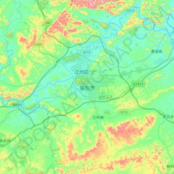
Name: 崇左市 topographic map, elevation, terrain.
Location: 崇左市, 石景林街道, 江州区, 崇左市, 广西壮族自治区, 中国 (22.22000 107.20091 22.54000 107.52091)
Average elevation: 185 m
Minimum elevation: 82 m
Maximum elevation: 497 m
Other topographic maps
Click on a map to view its topography, its elevation and its terrain.