
Mariazell topographic map
Interactive map
Click on the map to display elevation.
About this map
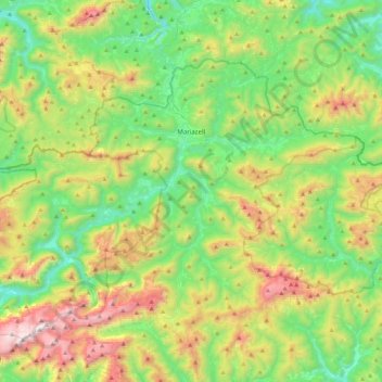
Name: Mariazell topographic map, elevation, terrain.
Location: Mariazell, Bezirk Bruck-Mürzzuschlag, Styria, 8630, Austria (47.62295 15.06696 47.82789 15.50664)
Average elevation: 1,124 m
Minimum elevation: 581 m
Maximum elevation: 2,248 m