
Ashton topographic map
Interactive map
Click on the map to display elevation.
About this map
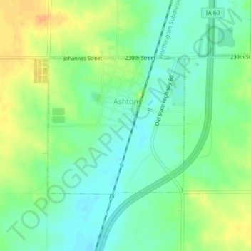
Name: Ashton topographic map, elevation, terrain.
Location: Ashton, Osceola County, Iowa, United States (43.30130 -95.80249 43.31600 -95.78225)
Average elevation: 448 m
Minimum elevation: 434 m
Maximum elevation: 467 m