
Thank you for supporting this site ❤️
Make a donation
Make a donation
Gear up for your next adventure:
As an Amazon Associate, this site earns from qualifying purchases at no extra cost to you.
Dagumbaan topographic map
Click on the map to display elevation.
Thank you for supporting this site ❤️
Make a donation
Make a donation
Gear up for your next adventure:
As an Amazon Associate, this site earns from qualifying purchases at no extra cost to you.
About this map
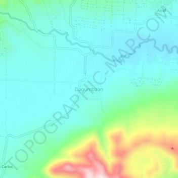
Name: Dagumbaan topographic map, elevation, terrain.
Location: Dagumbaan, Maramag, Bukidnon, Northern Mindanao, Philippines (7.83260 124.90703 7.87260 124.94703)
Average elevation: 749 m
Minimum elevation: 646 m
Maximum elevation: 1,099 m
Thank you for supporting this site ❤️
Make a donation
Make a donation
Gear up for your next adventure:
As an Amazon Associate, this site earns from qualifying purchases at no extra cost to you.