Geolocate

Jainagar topographic map

Click on the map to display elevation.

About this map

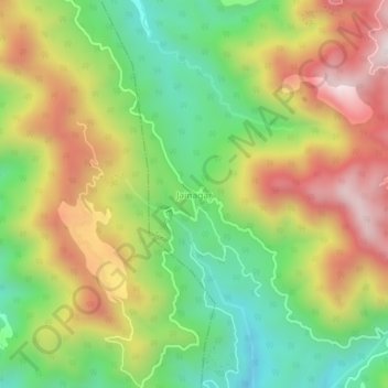
Name: Jainagar topographic map, elevation, terrain.

Location: Jainagar, Arki, Solan District, Himachal Pradesh, India (31.15477 76.82986 31.19477 76.86986)

Average elevation: 1,205 m

Minimum elevation: 853 m

Maximum elevation: 1,633 m

Gear up for your next adventure:

📦Dry Bags - Waterproof bags to protect gear from rain
🌄Compact Monoculars - Lightweight optics for hiking
🔦LED Camping Lanterns - Illumination for reading maps inside your tent at night
🕶️Glacier Goggles - Maximum protection for high-altitude snow topography
👕Technical Hiking Tees - Moisture-management for high-exertion climbs

As an Amazon Associate, this site earns from qualifying purchases at no extra cost to you.