
Xesta topographic map
Interactive map
Click on the map to display elevation.
About this map
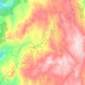
Name: Xesta topographic map, elevation, terrain.
Location: Xesta, A Lama, Pontevedra, Galicien, Spanien (42.36344 -8.40794 42.41671 -8.31470)
Average elevation: 809 m
Minimum elevation: 456 m
Maximum elevation: 1,019 m