
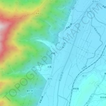
白端 topographic map
Interactive map
Click on the map to display elevation.
About this map
Name: 白端 topographic map, elevation, terrain.
Location: 白端, 古風村, 卓溪鄉, 花蓮縣, 982, 臺灣 (23.23050 121.25307 23.27050 121.29307)
Average elevation: 321 m
Minimum elevation: 157 m
Maximum elevation: 969 m
Other topographic maps
Click on a map to view its topography, its elevation and its terrain.