
El Tejocote topographic map
Interactive map
Click on the map to display elevation.
About this map
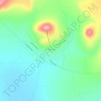
Name: El Tejocote topographic map, elevation, terrain.
Location: El Tejocote, Tequisquiapan, Querétaro, México (20.61577 -100.04374 20.62534 -100.02838)
Average elevation: 2,030 m
Minimum elevation: 1,979 m
Maximum elevation: 2,137 m