
鲁槎 topographic map
Interactive map
Click on the map to display elevation.
About this map
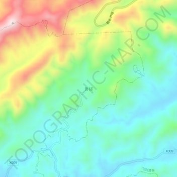
Name: 鲁槎 topographic map, elevation, terrain.
Location: 鲁槎, 天台镇, Yuanzhou, Yichun, Jiangxi, China (27.89055 114.01710 27.93055 114.05710)
Average elevation: 350 m
Minimum elevation: 185 m
Maximum elevation: 697 m