Geolocate

Pyeongni 6(yuk)-dong topographic map

Interactive map

Click on the map to display elevation.

About this map

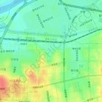
Name: Pyeongni 6(yuk)-dong topographic map, elevation, terrain.

Location: Pyeongni 6(yuk)-dong, Seo-gu, Daegu, 41761, South Korea (35.87398 128.54285 35.88293 128.55556)

Average elevation: 37 m

Minimum elevation: 17 m

Maximum elevation: 68 m

Other topographic maps

Click on a map to view its topography, its elevation and its terrain.

Jung-gu

South Korea > Daegu

Jung-gu, Daegu, South Korea

Average elevation: 50 m

Jung-dong

South Korea > Daegu

Jung-dong, Suseong-gu, Daegu, South Korea

Average elevation: 66 m

Dong-gu

South Korea > Daegu

Dong-gu, Daegu, South Korea

Average elevation: 195 m

Daegu

South Korea > Daegu

Jijeodong, Dong-gu, Daegu, South Korea

Average elevation: 38 m