
Glenwood topographic map
Interactive map
Click on the map to display elevation.
About this map
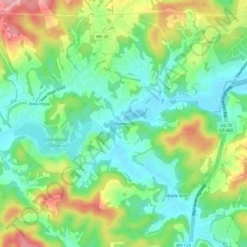
Name: Glenwood topographic map, elevation, terrain.
Location: Glenwood, Mercer County, West Virginia, United States (37.31595 -81.16926 37.35595 -81.12926)
Average elevation: 783 m
Minimum elevation: 729 m
Maximum elevation: 878 m