
Songo topographic map
Interactive map
Click on the map to display elevation.
About this map
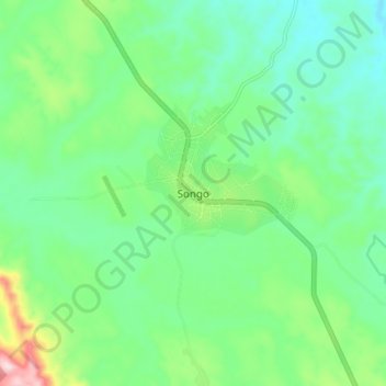
Name: Songo topographic map, elevation, terrain.
Location: Songo, Uíge Province, Angola (-7.39301 14.80736 -7.31301 14.88736)
Average elevation: 685 m
Minimum elevation: 594 m
Maximum elevation: 931 m