
Pooley Country Park topographic map
Interactive map
Click on the map to display elevation.
About this map
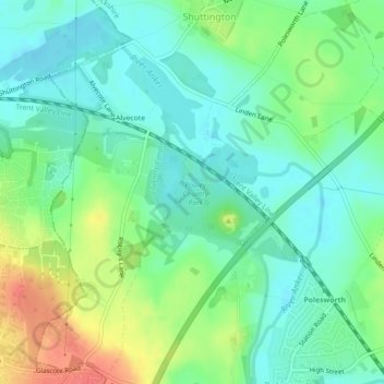
Name: Pooley Country Park topographic map, elevation, terrain.
Average elevation: 76 m
Minimum elevation: 57 m
Maximum elevation: 114 m
Other topographic maps
Click on a map to view its topography, its elevation and its terrain.
Birchmoor
United Kingdom > England > Warwickshire > North Warwickshire > Polesworth
Birchmoor, Polesworth CP, Polesworth, North Warwickshire, Warwickshire, England, B78 1AF, United Kingdom
Average elevation: 93 m