
Heiderscheid topographic map
Interactive map
Click on the map to display elevation.
About this map
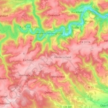
Name: Heiderscheid topographic map, elevation, terrain.
Location: Heiderscheid, Esch-sur-Sûre, Canton Wiltz, Luxemburg (49.85241 5.90212 49.92625 6.03733)
Average elevation: 425 m
Minimum elevation: 241 m
Maximum elevation: 540 m