
Biskra topographic map
Interactive map
Click on the map to display elevation.
Biskra
Colonel Carbuccia in charge of this mission was surprised by the topography of the ground and the resistance which opposed him in the middle of a dense vegetation. The struggles and fights continued for 7 months without stopping. It took 7,000 troops and 53 days of blockade for the destruction of the siege by the three colonels together: Canrobert, Barral, and Lourmel giving the death of Chief Bouzian with 1400 besieged and 2130 people on the French side.
About this map
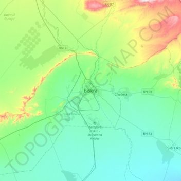
Name: Biskra topographic map, elevation, terrain.
Location: Biskra, Biskra District, Biskra, 0700, Algeria (34.69085 5.56869 35.01085 5.88869)
Average elevation: 168 m
Minimum elevation: 16 m
Maximum elevation: 688 m