
Orient topographic map
Interactive map
Click on the map to display elevation.
About this map
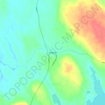
Name: Orient topographic map, elevation, terrain.
Location: Orient, Aroostook County, Maine, USA (45.79700 -67.86001 45.83700 -67.82001)
Average elevation: 148 m
Minimum elevation: 127 m
Maximum elevation: 188 m