
Horn topographic map
Interactive map
Click on the map to display elevation.
About this map
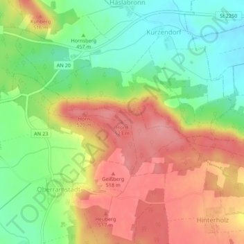
Name: Horn topographic map, elevation, terrain.
Average elevation: 474 m
Minimum elevation: 420 m
Maximum elevation: 528 m
Other topographic maps
Click on a map to view its topography, its elevation and its terrain.
Horn
Germany > Bavaria > Ansbach (district) > Leutershausen
Horn, Leutershausen, Ansbach (district), Bavaria, 91578, Germany
Average elevation: 471 m