
Ibias topographic map
Interactive map
Click on the map to display elevation.
About this map
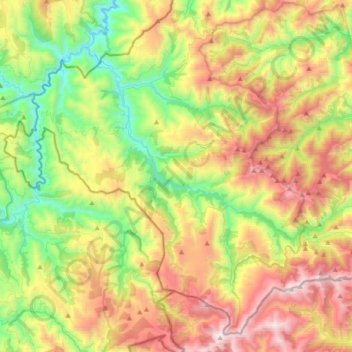
Name: Ibias topographic map, elevation, terrain.
Location: Ibias, Asturias, 33810, España (42.88254 -6.99717 43.11777 -6.63878)
Average elevation: 914 m
Minimum elevation: 206 m
Maximum elevation: 1,936 m
Other topographic maps
Click on a map to view its topography, its elevation and its terrain.