
Geestenseth topographic map
Interactive map
Click on the map to display elevation.
About this map
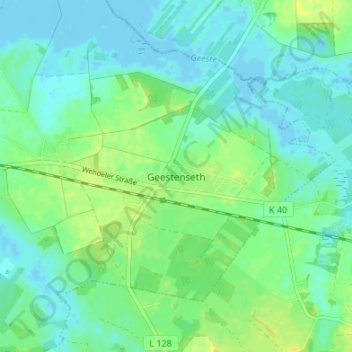
Name: Geestenseth topographic map, elevation, terrain.
Location: Geestenseth, Landkreis Cuxhaven, Niedersachsen, Deutschland (53.48919 8.84191 53.52919 8.88191)
Average elevation: 7 m
Minimum elevation: -3 m
Maximum elevation: 18 m