
Orentano topographic map
Interactive map
Click on the map to display elevation.
About this map
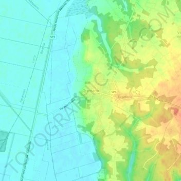
Name: Orentano topographic map, elevation, terrain.
Location: Orentano, Castelfranco di Sotto, Pisa, Toscane, 56022, Italië (43.75965 10.63839 43.79965 10.67839)
Average elevation: 17 m
Minimum elevation: 1 m
Maximum elevation: 45 m
Other topographic maps
Click on a map to view its topography, its elevation and its terrain.