
Acumuer topographic map
Interactive map
Click on the map to display elevation.
About this map
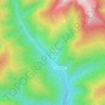
Name: Acumuer topographic map, elevation, terrain.
Location: Acumuer, Alto Gállego, Huesca, Aragón, 22612, España (42.60079 -0.42720 42.64079 -0.38720)
Average elevation: 1,301 m
Minimum elevation: 981 m
Maximum elevation: 1,777 m