
湘潭市雨湖区渡佳坝工程管理所 topographic map
Interactive map
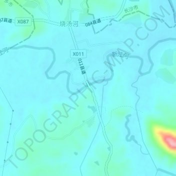
Click on the map to display elevation.
About this map
Name: 湘潭市雨湖区渡佳坝工程管理所 topographic map, elevation, terrain.
Location: 湘潭市雨湖区渡佳坝工程管理所, 烧汤河, 响塘乡, 雨湖区, 湘潭市, 湖南省, 中国 (28.01703 112.78464 28.01713 112.78474)
Average elevation: 47 m
Minimum elevation: 32 m
Maximum elevation: 174 m