
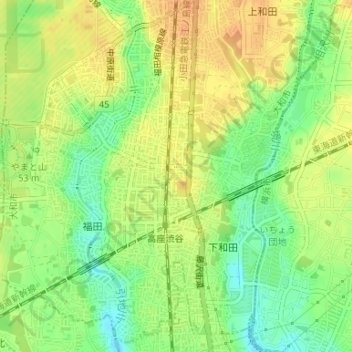
渋谷6 topographic map
Interactive map
Click on the map to display elevation.
About this map
Name: 渋谷6 topographic map, elevation, terrain.
Location: 渋谷6, 渋谷, 福田, 大和市, Préfecture de Kanagawa, Kantō, Japon (35.43498 139.46482 35.43643 139.46693)
Average elevation: 47 m
Minimum elevation: 27 m
Maximum elevation: 62 m