
Hubertus topographic map
Interactive map
Click on the map to display elevation.
About this map
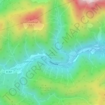
Name: Hubertus topographic map, elevation, terrain.
Location: Hubertus, Kreuth, Landkreis Miesbach, Bavaria, Germany (47.61404 11.65947 47.61414 11.65957)
Average elevation: 1,068 m
Minimum elevation: 856 m
Maximum elevation: 1,486 m